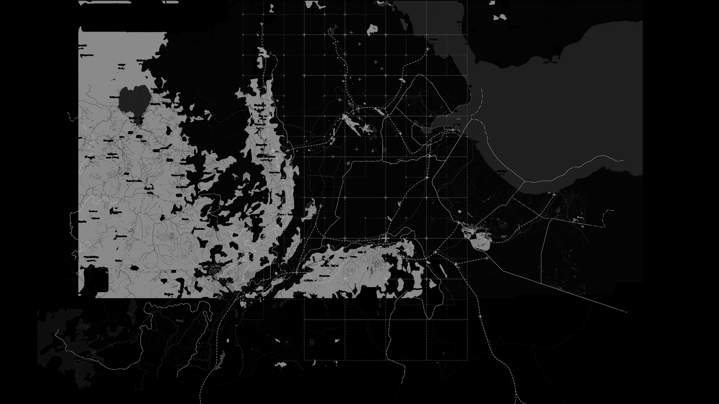
Mapping Dire Dawa
Dire Dawa, Ethiopia
Research
As part of a broader research initiative, Mapping Dire Dawa focuses on documenting accessible data for the public, positioning the city within the larger context of Ethiopia. By expanding access to open-source mapping, the project not only contributes to the public good but also fosters better design—ensuring that spatial information informs and empowers future planning, development, and engagement with place.


